There is a simple, profound pleasure in taking a walk through our local Staffordshire landscape. Beyond the fresh air and familiar paths, there lies the quiet potential for discovery, the chance to stumble upon a fragment of the past that tells a story far grander than you might expect. We often look to towering ruins and grand manor houses to tell the story of history, but sometimes the most powerful tales are found in the smallest details.
Yesterday, while walking the dogs around Rugeley, we found ourselves doing what we always end up doing, following the land rather than the pavement, and quietly piecing together the story of a place that has largely vanished from view. This was not just a walk, it was an exploration of what remains of Hagley Hall, and the wider landscape that once supported it.
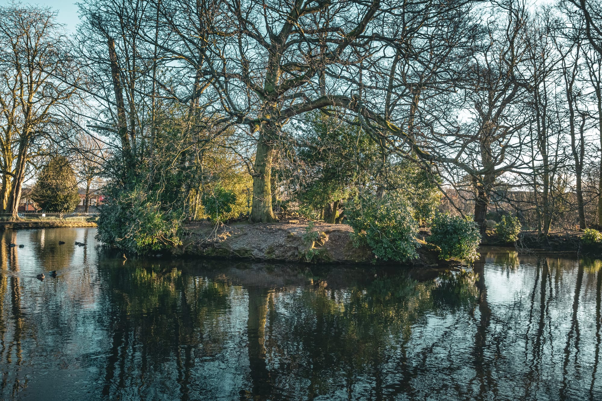
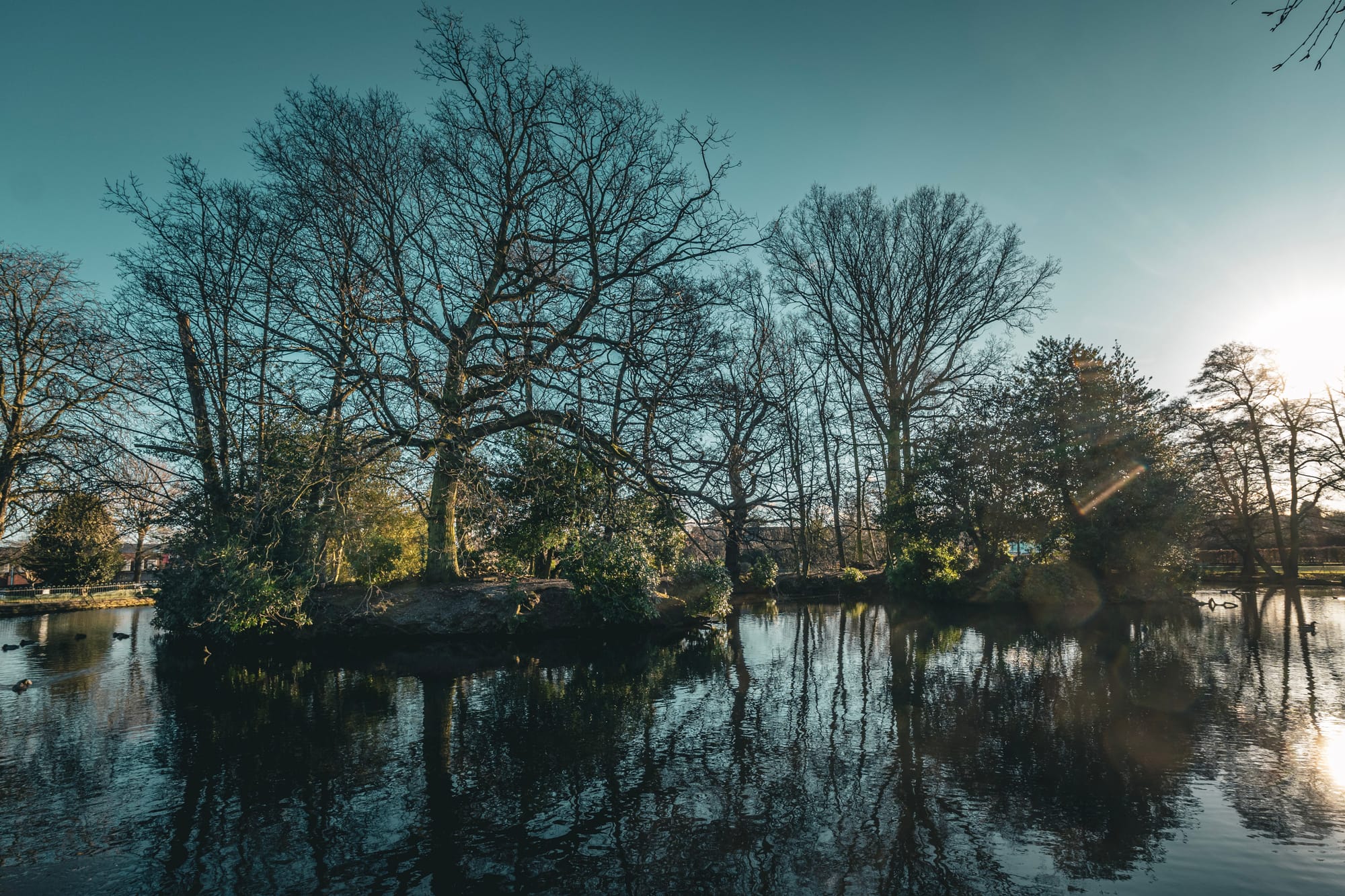
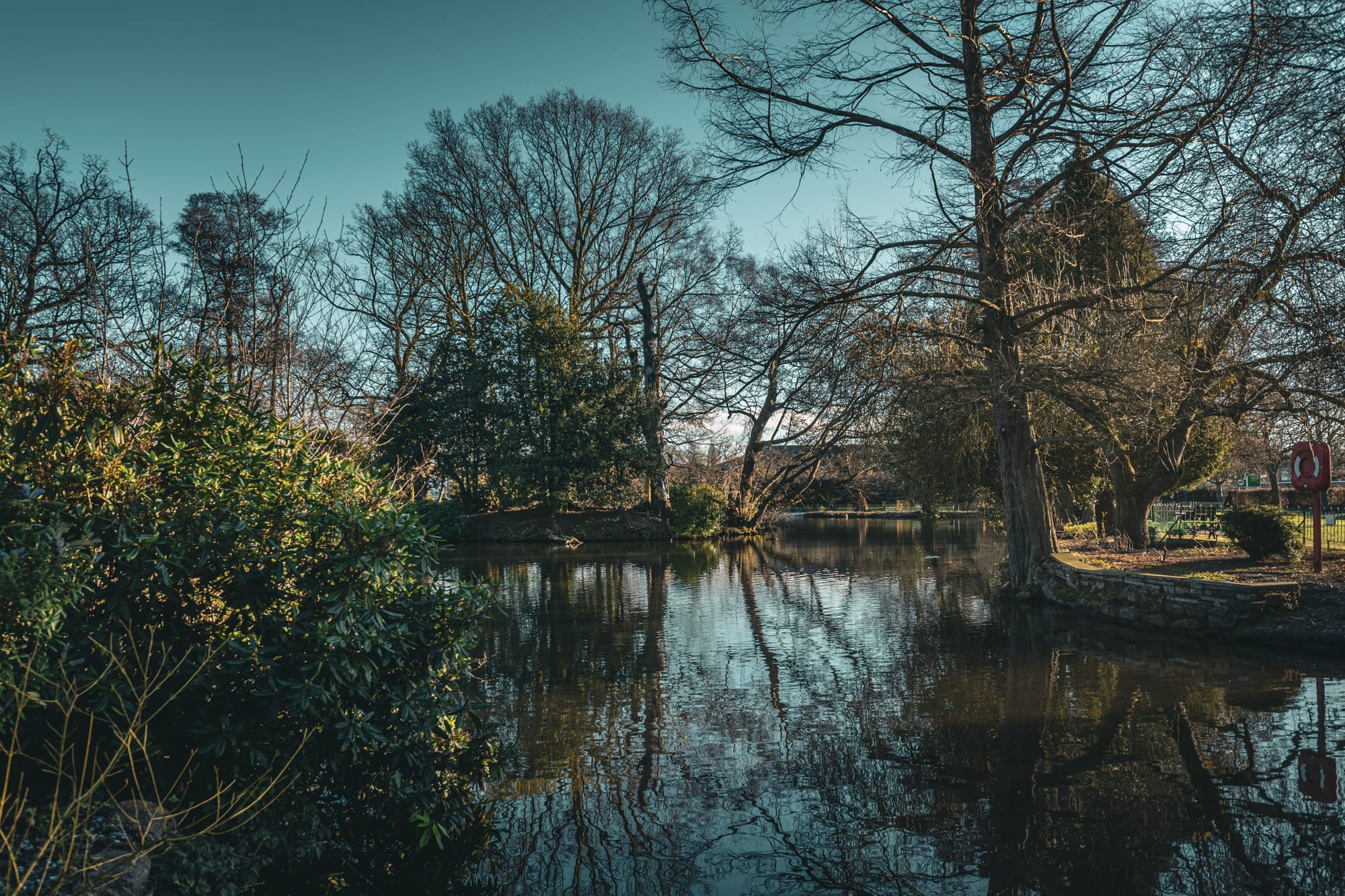
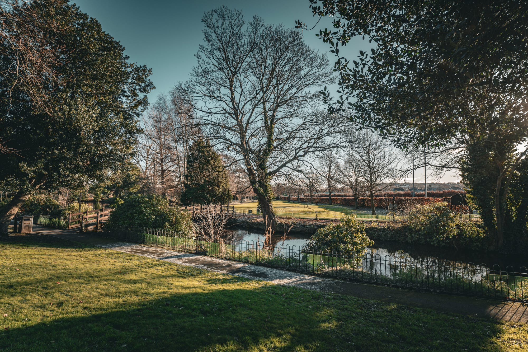

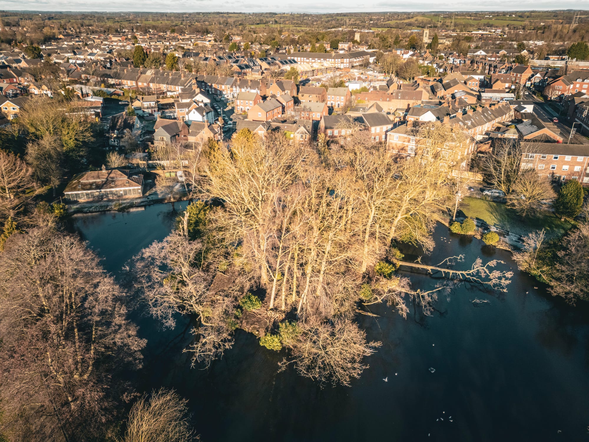
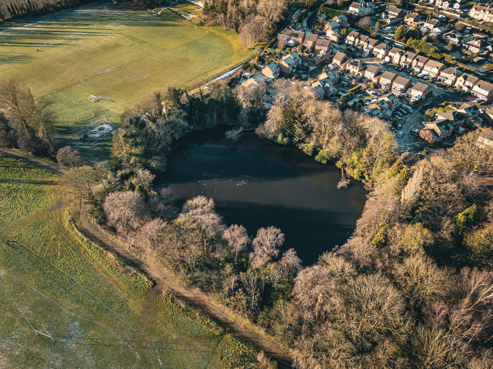

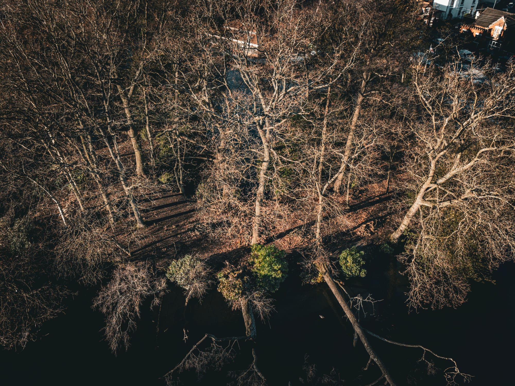
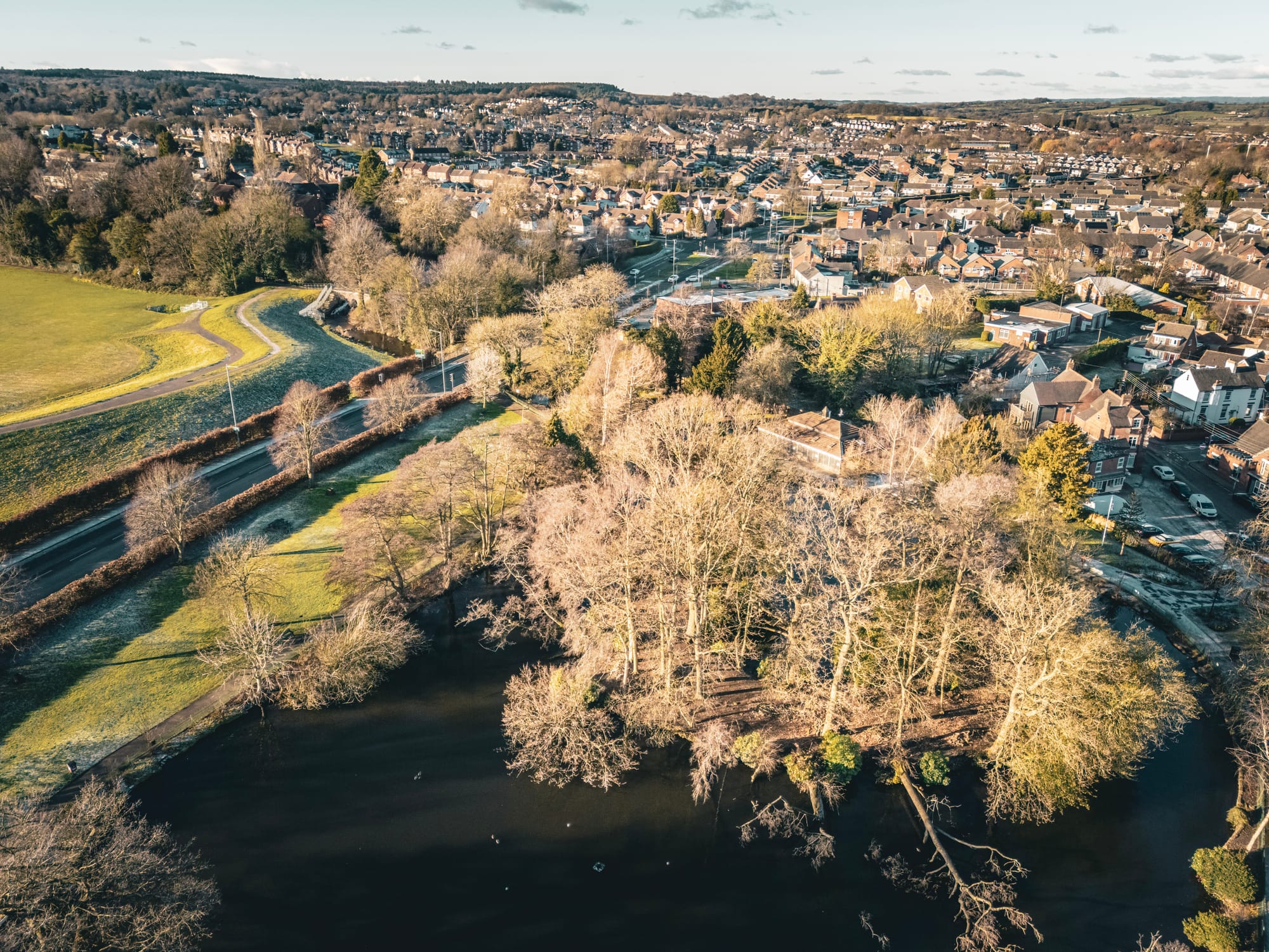
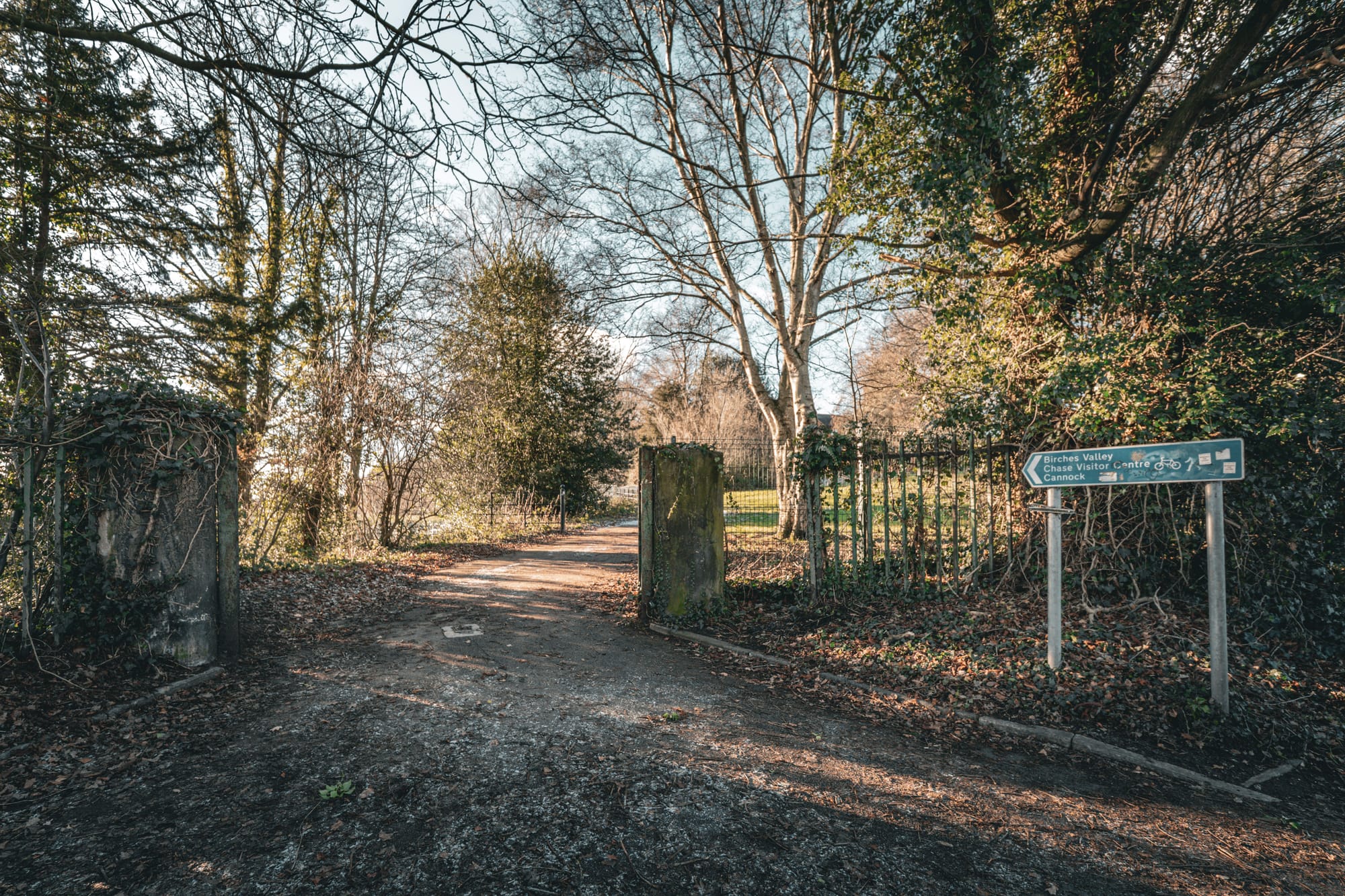
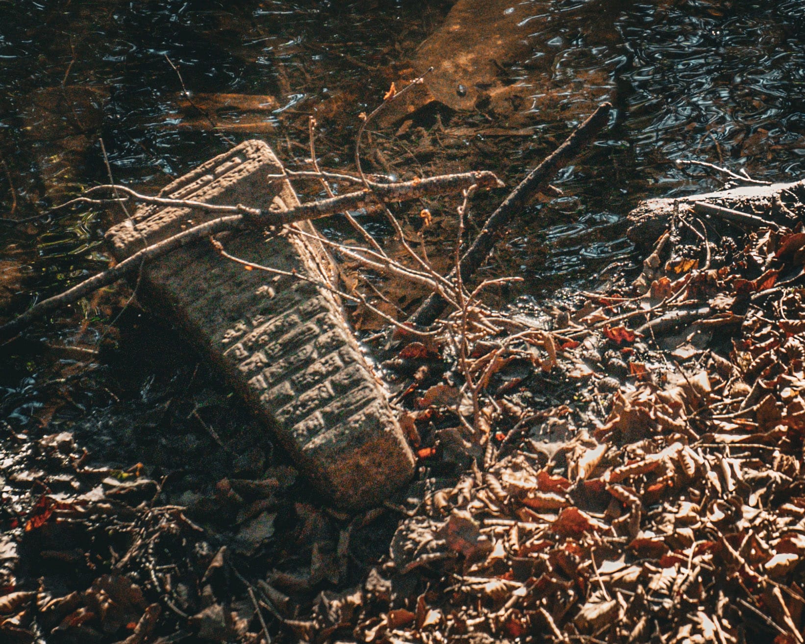
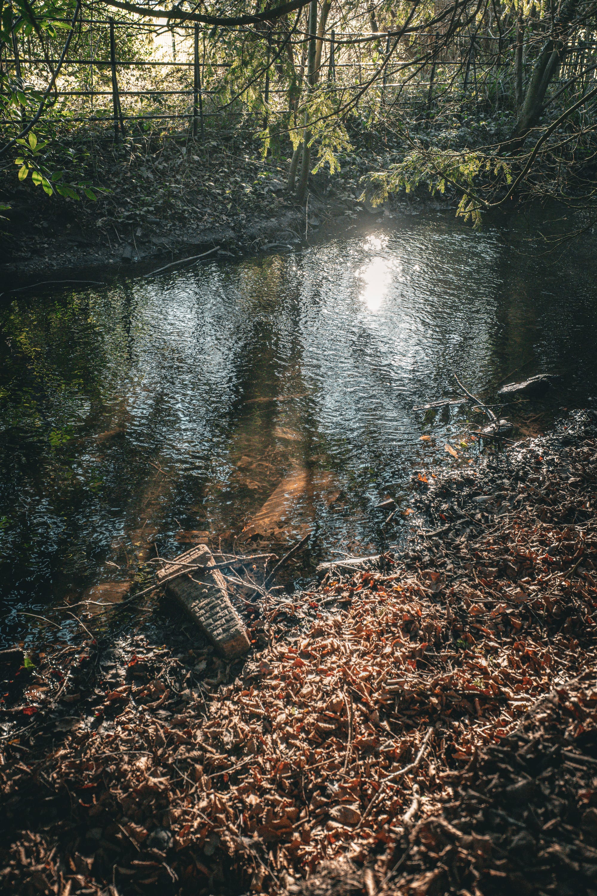
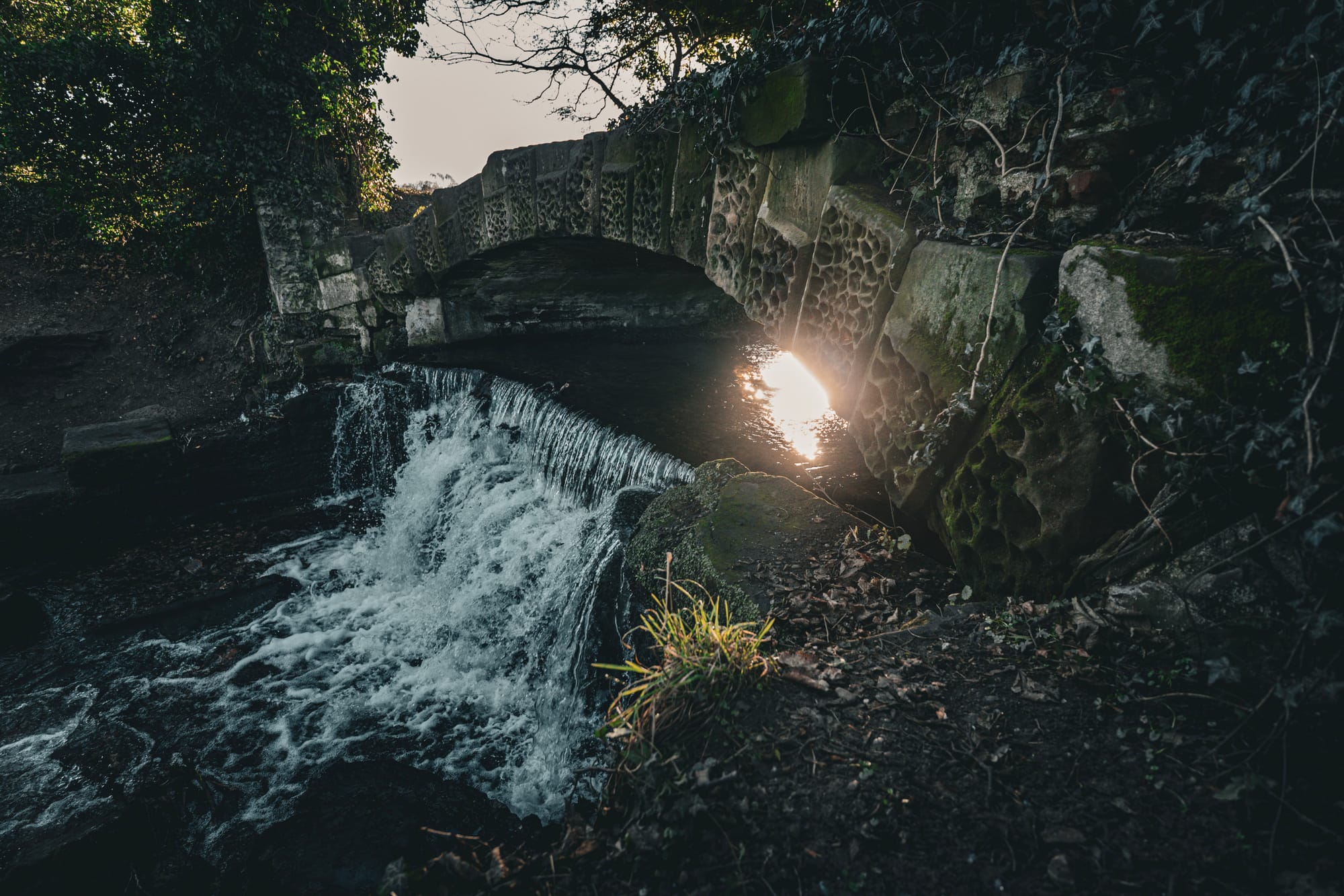
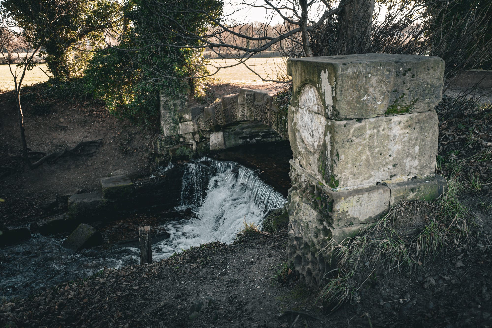
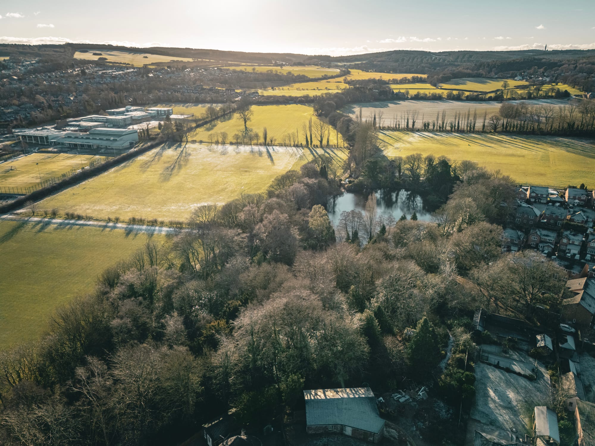
The original moated manor or medieval Hagley Hall, stood on what is now the island in the middle of the pond in Elmore Park, Rugeley.
The first Hagley Hall, hidden in plain sight
Most people associate Hagley Hall with the later country house, but the story actually begins much earlier. The original Hagley Hall was a medieval moated manor, built in the late 14th century by Thomas de Thomenhorn, the Keeper of the Royal Forest of Cannock Chase, to replace an earlier residence that had been destroyed by fire. It stood on a small man-made island, created by diverting a brook to form a surrounding moat. This was about status rather than defence, a visual marker of authority in the landscape.
Join my community on Patreon!
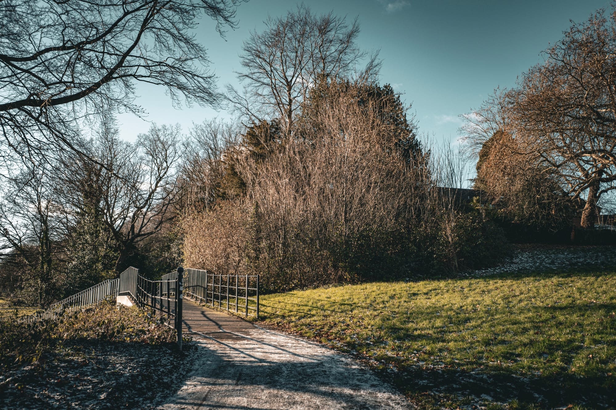
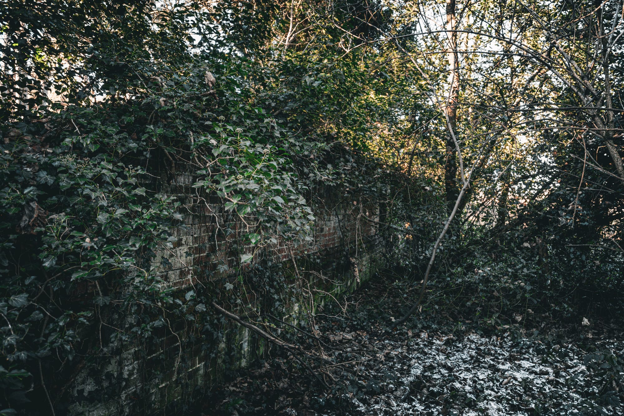
Today, that island still survives as part of Elmore Pool. Walking around it, the shape of the medieval site is still legible if you know what to look for. The timber hall itself has long gone, but this was once a substantial complex. Records from the Plea Rolls of Richard II describe the manor as a comprehensive estate featuring several distinct structures, including a great hall, chambers, chapel, barns, stables, a brewery, and a gatehouse. It is one of those places you can walk past a hundred times without realising just how old the ground beneath your feet really is.
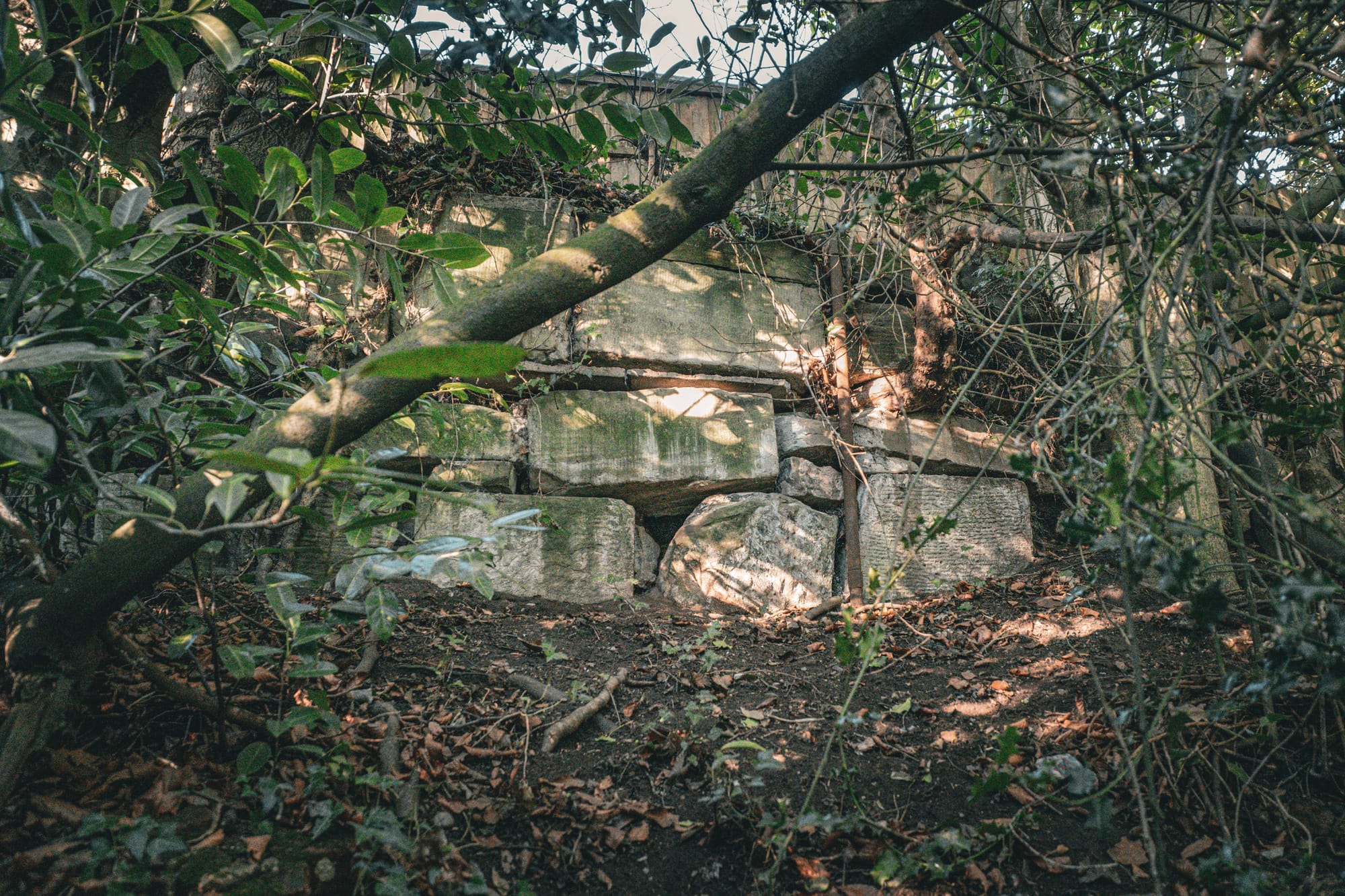
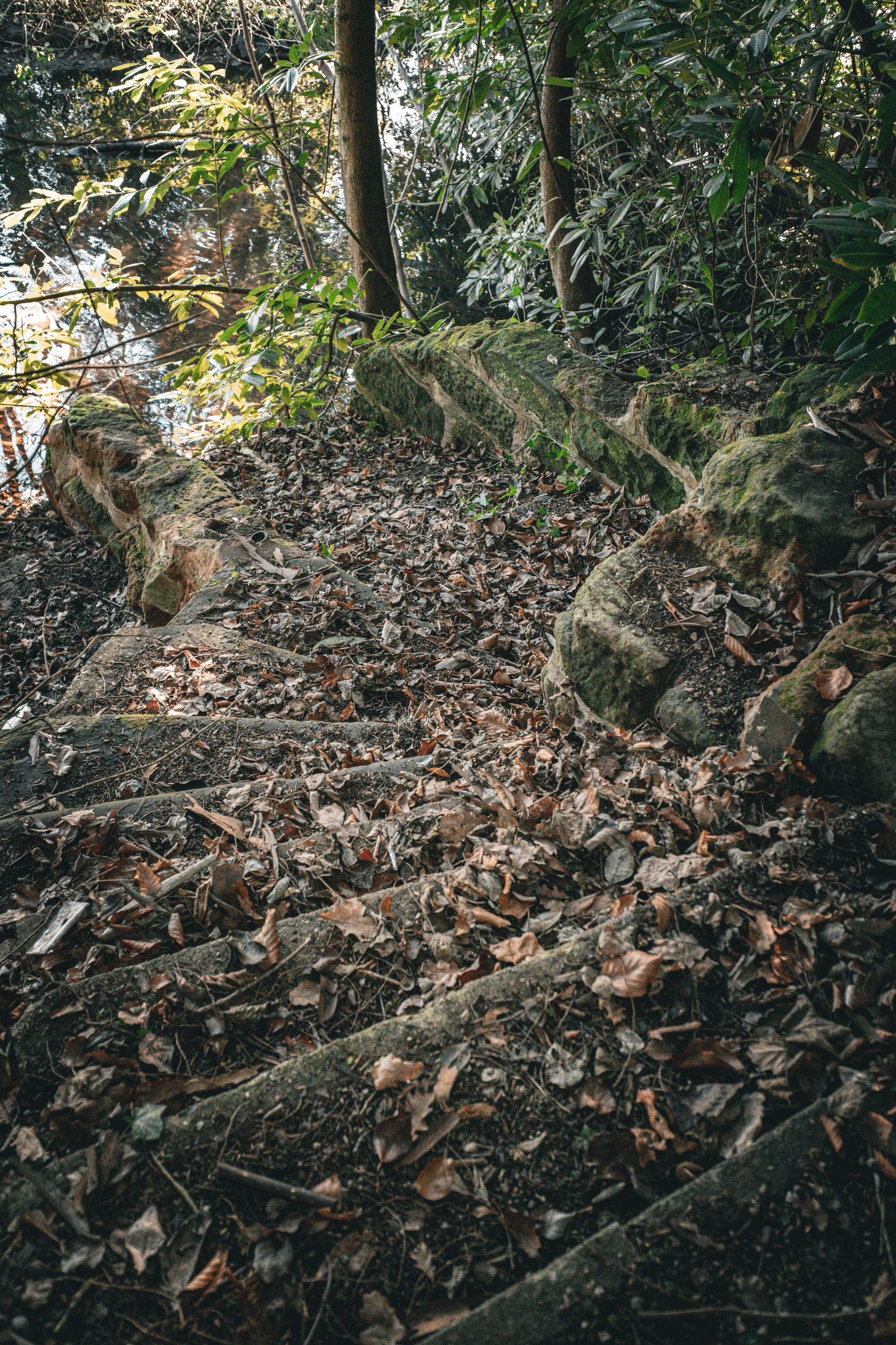
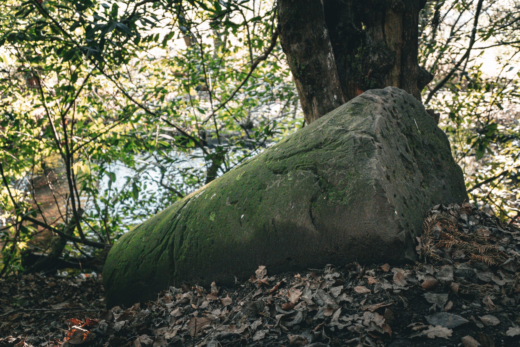
Some remnants of Hagley Hall, steps, garden features, possibly an ice house, and even one of the doorway pillars.
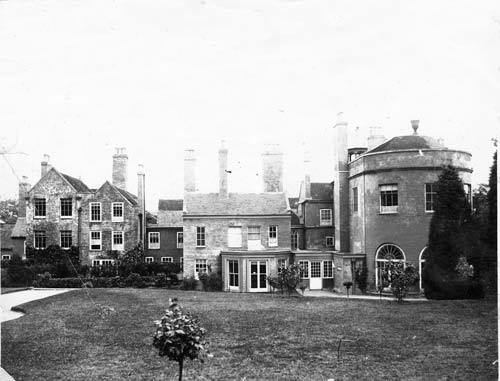
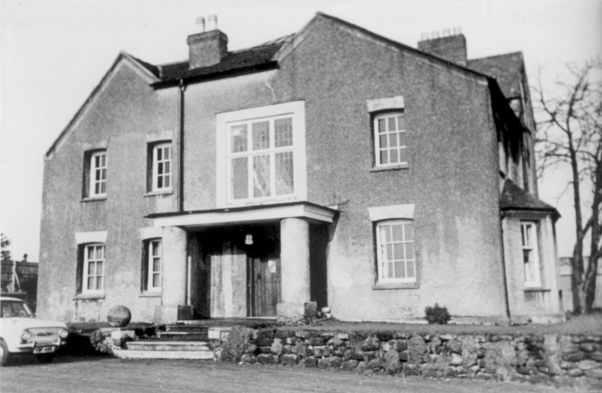
The later Hagley Hall and the lost park
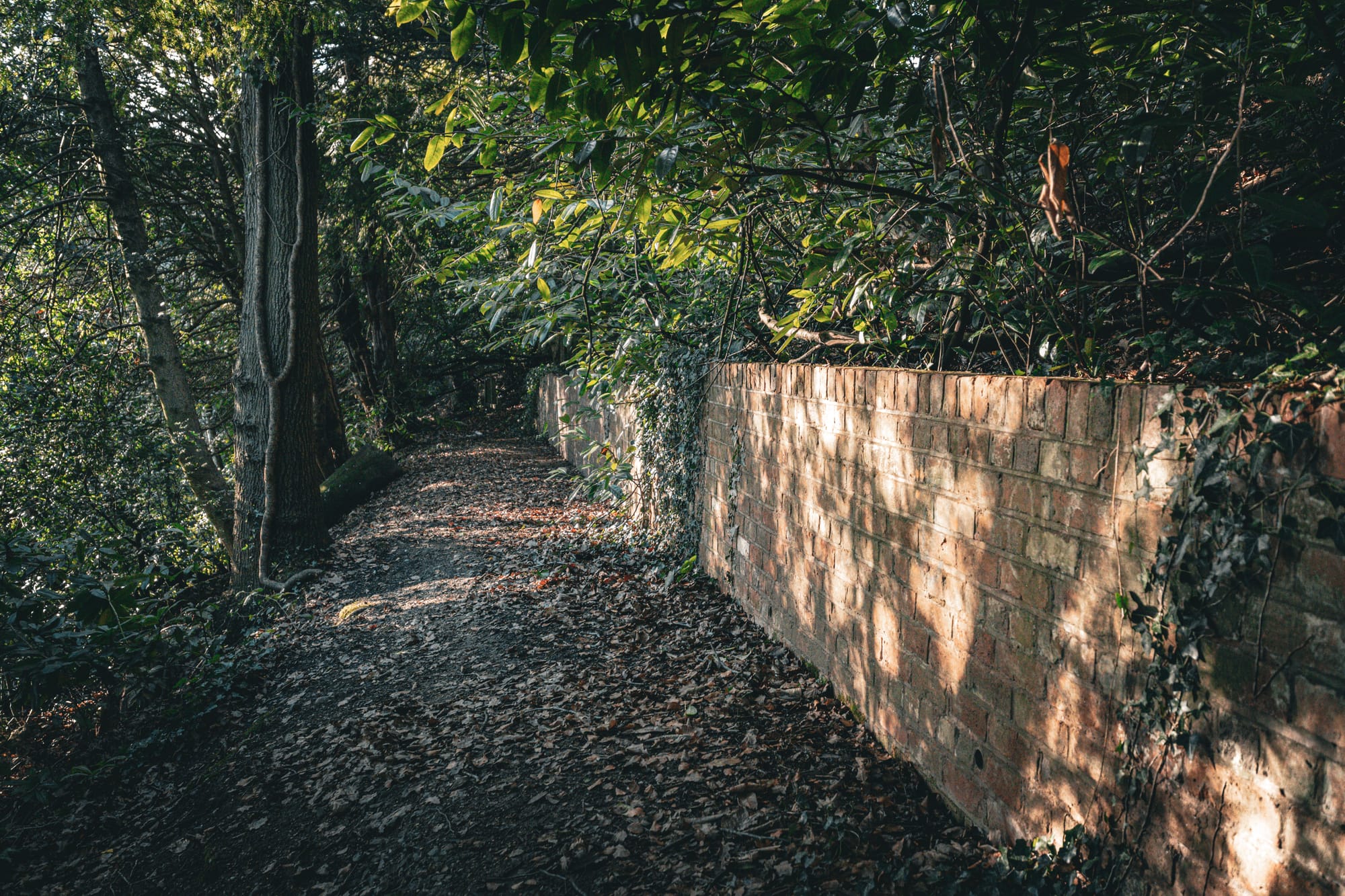
By the 17th century, the focus of the estate shifted to higher ground, where a new Hagley Hall was built. This later house grew and changed over time, becoming a sizeable country residence surrounded by landscaped parkland. It was remodelled, extended, and adapted across the centuries, reflecting changing fashions and fortunes.
Standing on Bank Top today, it takes a bit of imagination. The hall itself was demolished in stages during the 20th century, and nothing remains above ground. Housing now occupies the site, but the rise of the land, the relationship to the Rising Brook, and the surviving open spaces all hint at the former layout of Hagley Park. This was once a designed landscape, not just a house dropped into the countryside.
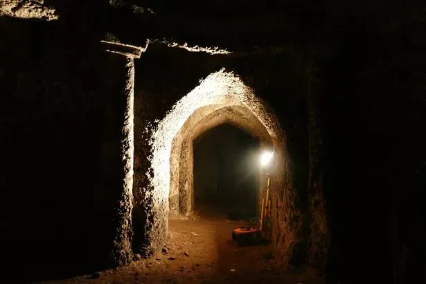
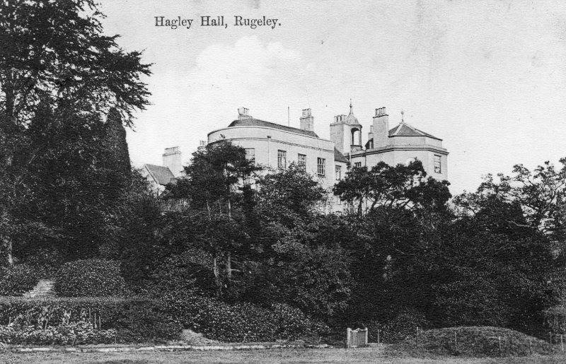
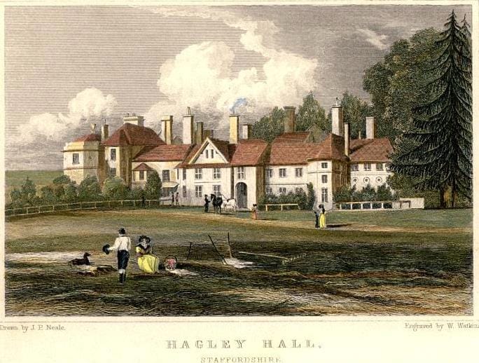
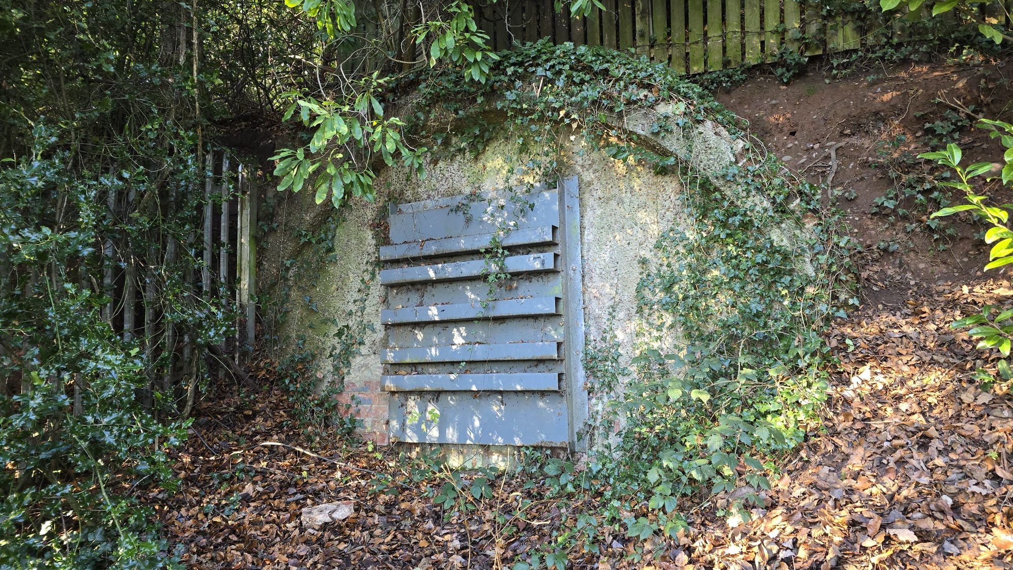

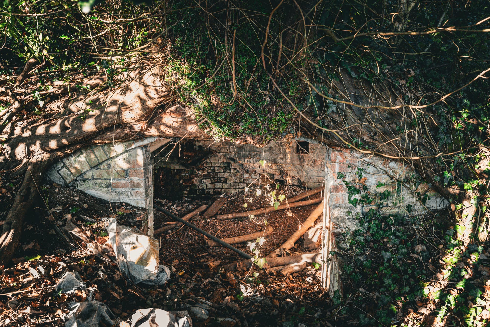
The grotto underneath the hall, old images of the hall, and the now-sealed entrance to the grotto.
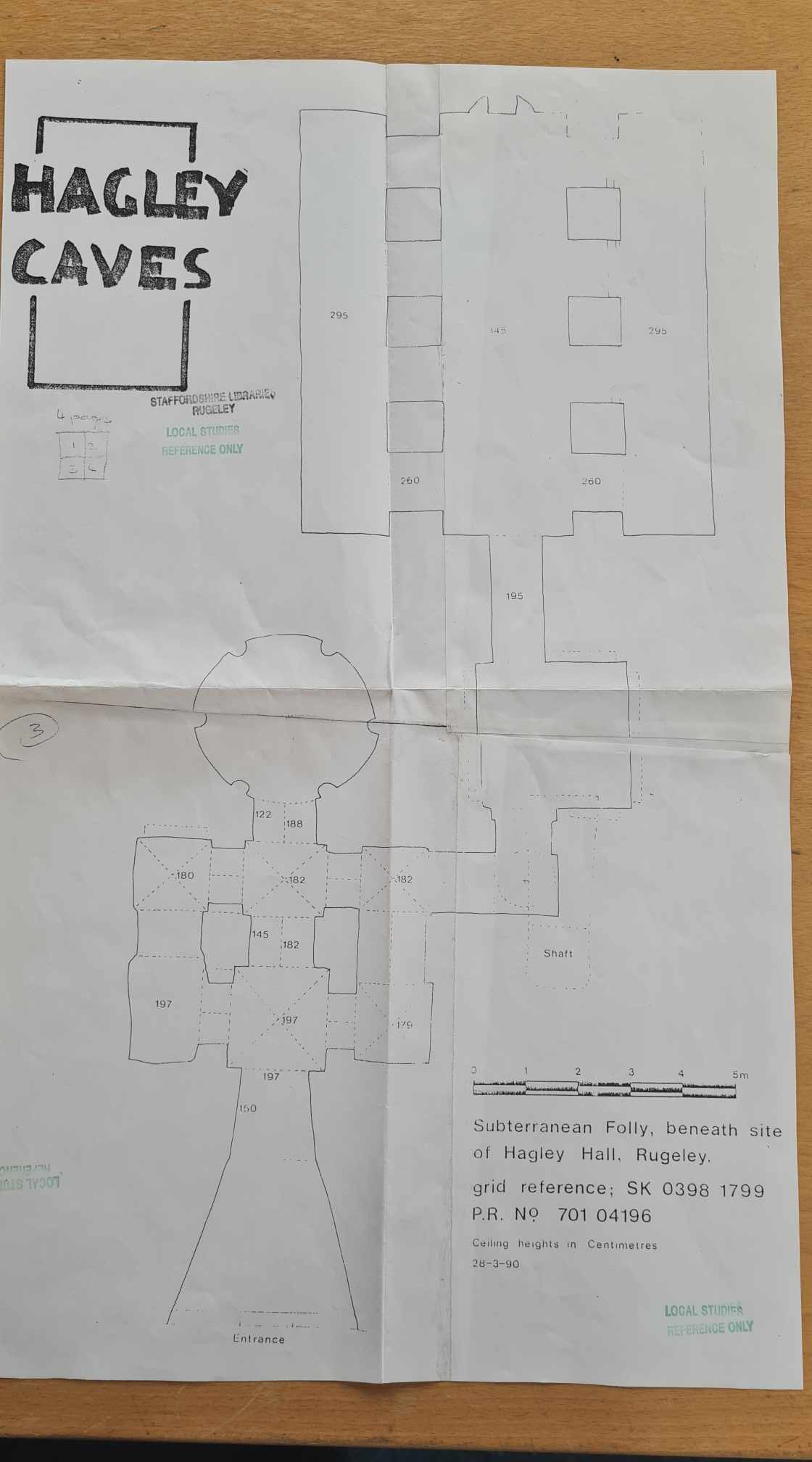
The grotto beneath the hill
One of the most intriguing parts of the Hagley story lies underground. Beneath the site of the later hall is a rock-cut grotto, sometimes referred to locally as catacombs. Carved directly into sandstone, it once consisted of arched chambers and passages, described by visitors in the mid-20th century as surprisingly elaborate.
Exactly why it was built remains unclear. It may have been an ornamental garden feature, a fashionable folly, or something more eccentric. Today it is sealed and inaccessible, which only adds to the mystery. If anyone has photographs, memories of going inside, or knows who owns the grotto or controls access, I would absolutely love to hear from you.
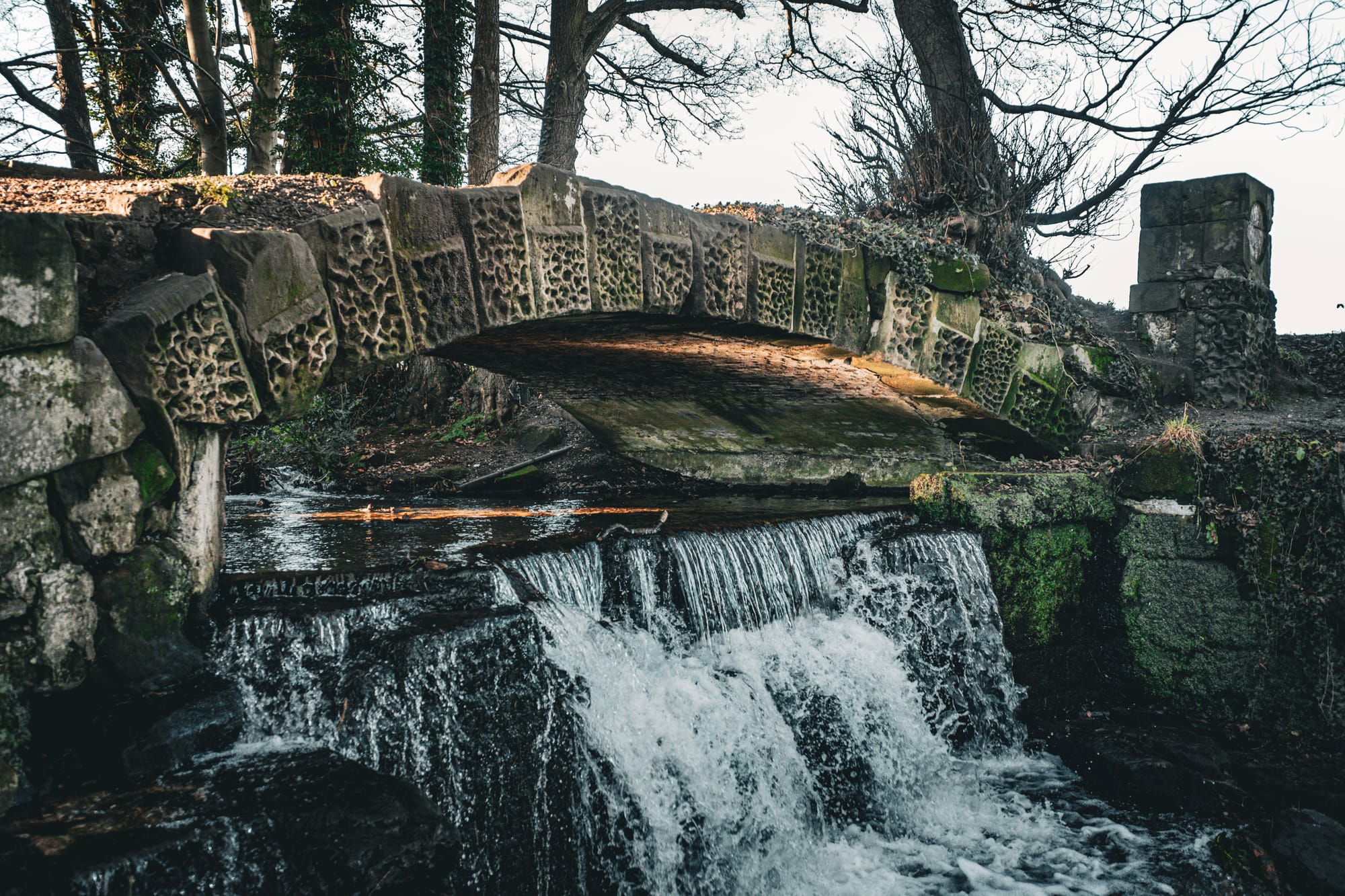

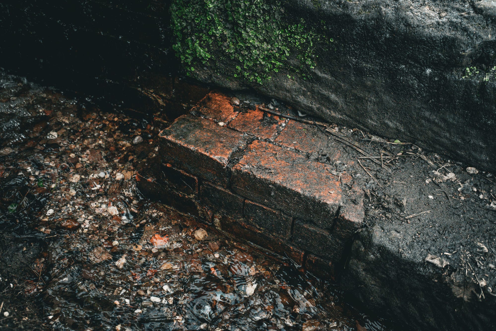
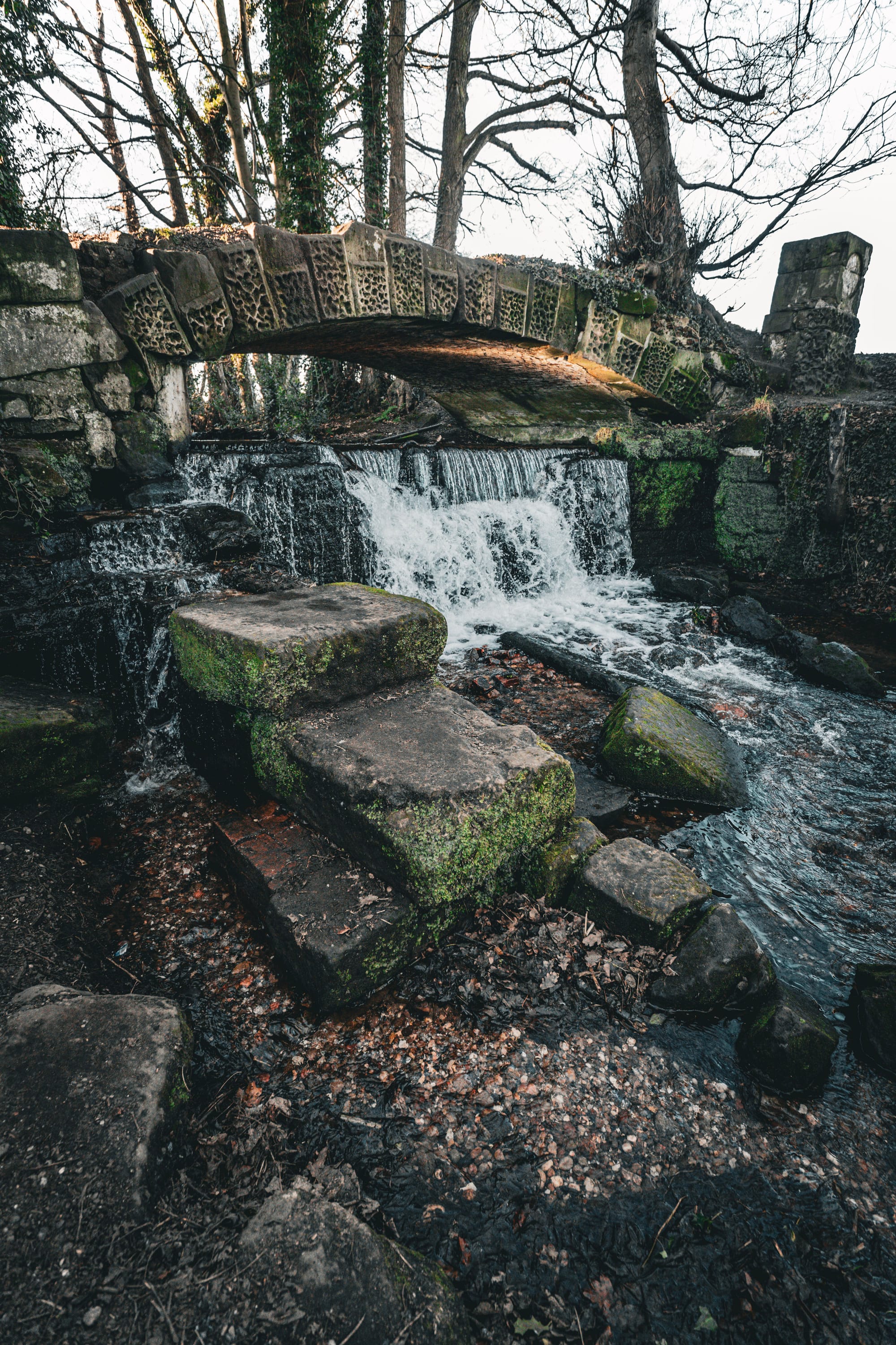
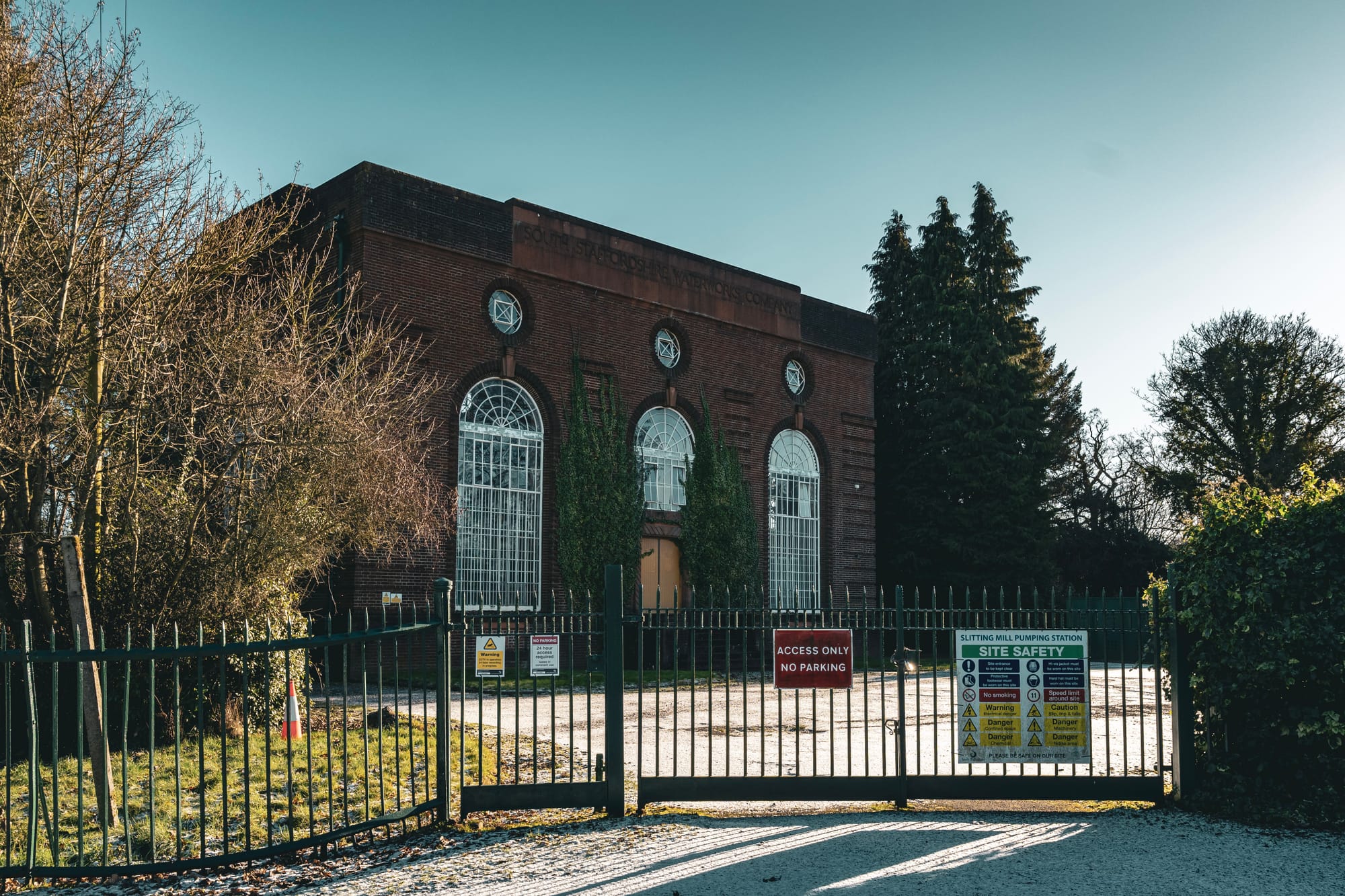
Remnants of the old slitting mill and the South Staffordshire Waterworks pumping station.
Industry on the edge of the estate, the Slitting Mill
Hagley Hall did not sit in a quiet, purely rural setting. Just beyond the parkland lies Slitting Mill, tucked under the edge of Cannock Chase along the Rising Brook.
This was a place of serious industry. By 1611, England’s second slitting mill was operating here, slicing heavy iron bars into thin rods for nail making and other iron goods. At its peak, the mill handled most of the output of the Staffordshire ironworks, playing a crucial role in supplying a growing nation.
Walking through the hamlet today, the industrial past still makes itself known. Old bridges and weirs left over from the mills, the line of the brook, and later pumping stations all speak to centuries of working use. In its prime, the slitting mill acted like an industrial loom, taking raw iron and transforming it into the everyday materials people depended on.
A story still being pieced together
What struck me most on this walk was just how much of Hagley’s story still survives, even without standing buildings. The medieval moat, the lost hall, the sealed grotto, the parkland, and the industrial sites are all still there if you slow down and read the landscape properly.
I am currently working on a full, in-depth piece of research into Hagley Hall and its estate, covering both halls, the park, the grotto, and the surrounding industrial landscape. This will become a dedicated long-form article and a proper video once the research is complete.
If you have photographs, documents, family stories, or any information about Hagley Hall or the grotto, please do get in touch. These places may be gone from view, but their stories are still waiting to be told.
Thank you for reading.
If you enjoy this work and would like to help support it, I also share extra photographs, research notes, behind-the-scenes thoughts, and early access to projects over on Patreon. Patreon is my space away from the algorithms, where everything lives in one place, and nothing gets buried.
Join my community on Patreon!
You can also buy me a coffee here.

And find my Amazon Wish List here;

Below is my interactive Staffordshire map, which is now embedded at the end of every post. The map brings together all of the places I have visited, researched, written about, and filmed so far, with links to the stories behind them. It is designed to help you see what is around you, plan your own walks or days out, and explore Staffordshire’s history in a more connected and interactive way.